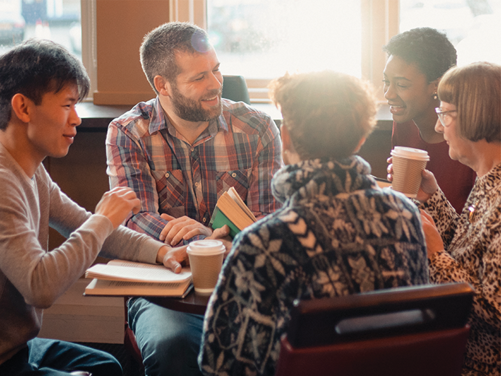
Recently the Carroll Gardens Library hosted Community Word Project for an outdoor program called “Map Your World”. The program was led by teaching artist, Libby and it was a great opportunity to use maps as a way to discuss our communities and the things we value in them. We started by exploring a variety of different maps with the group. We looked at subway maps, artistic maps, Google maps, maps that showed bike routes throughout the city, and maps that marked community gardens in Harlem. This became the jumping off point to discuss all the things that maps can do and show. All of these maps showed similar areas in a different way and through discussing them we were able to think about the range of uses for maps.


 |
|
From there we followed the prompt: "Using the collage materials, make a map of your neighborhood, or a place you know really well. Choose 3-5 of your favorite places (or people) to include on the map!"
This was a really great way for each of us to think about the communities we live in and the places that make up our day to day lives. Through our sharebacks with the group we were able to learn about each other and each others neighborhoods through the places we chose to include on our maps!
Below are some examples of maps that were created at the event:


Finally, I got the chance to speak further with Libby about maps and mapmaking and you can check out the discussion below!
What do you love about maps and mapmaking?
As a 5 year old student in our recent BPL workshop said, “maps show us where we need to go.” I love this statement, because it can be true in more ways than one! Sure, maps help us not to get lost. But if we are mapping other kinds of information, maps can also help us see where we need to go next in life, whether personally, or as a community or a society. That’s why maps are such an awesome framework for artists to explore. They can help us examine big stories and questions.
Why do you think maps are important?
Maps are important because they can help us learn how to think critically about the world around us. Each map tells a story that is usually very unique to the map-maker. A map can try very hard, but it can never tell the whole story of a place— something will always be invisibilized. When we look at a map we can ask, “What is shown here? What is missing? Why?” We can also learn to see how many different things can be true about one place, depending on who is looking.
How do you think maps can be used as a tool in storytelling?
I took a cartography workshop this spring with an artist friend, Mariana (Montse) Montserrat. I’ve been using mapping in my teaching artist work for awhile, but Montse helped me articulate what I love so much about mapping. She helped me see that we can make maps of things beyond just physical locations: for example, we can map memories, we can map dreams, we can map emotions, and we can map our bodies!
I just did a project with an artist residency I co-led where we each chose one body part to tell a story about, and made a short video about it. Then we played them all together to tell the story of our group body, our collective body. The ways we can use maps for storytelling are infinite!
Do you have a favorite map?
I LOVE the New York City subway map, because it helps me get around my city!
I also love this Native Land Map that allows us to see what native land we are on, with a major focus on the Americas. This is especially important because so many maps only show us the borders that have been drawn as a result of colonization. This map helps us see another very important story about our world.
Keep Exploring with BPL Databases
- Urban Archive: View our collection of city stories and check out the platform of digital collections of New York City's museums, archives, and libraries. When you click into the database you will see an interactive map of New York City. By clicking on a specific location you can explore old photographs, stories and facts about that location!
- ProQuest Sirs Discoverer: Using this tool you can find maps and other fun resources by searching specific keywrods such as "butterfly" and "maps" to find maps on Butterfly Migrations! This resource requires a library card to access.
This blog post reflects the opinions of the author and does not necessarily represent the views of Brooklyn Public Library.
Post a Comment
While BPL encourages an open forum, posts and comments are moderated by library staff. BPL reserves the right, within its sole discretion, not to post and to remove submissions or comments that are unlawful or violate this policy. While comments will not be edited by BPL personnel, a comment may be deleted if it violates our comment policy.
eNews Signup
Get the latest updates from BPL and be the first to know about new programs, author talks, exciting events and opportunities to support your local library.
